
Cautus Geo 10 years

Cautus Geo AS established
Lars Krangnes (left) and Atle Gerhardsen decide to try their luck venturing out on their own. They start Cautus Geo AS. The company is established August 1st, 2009.
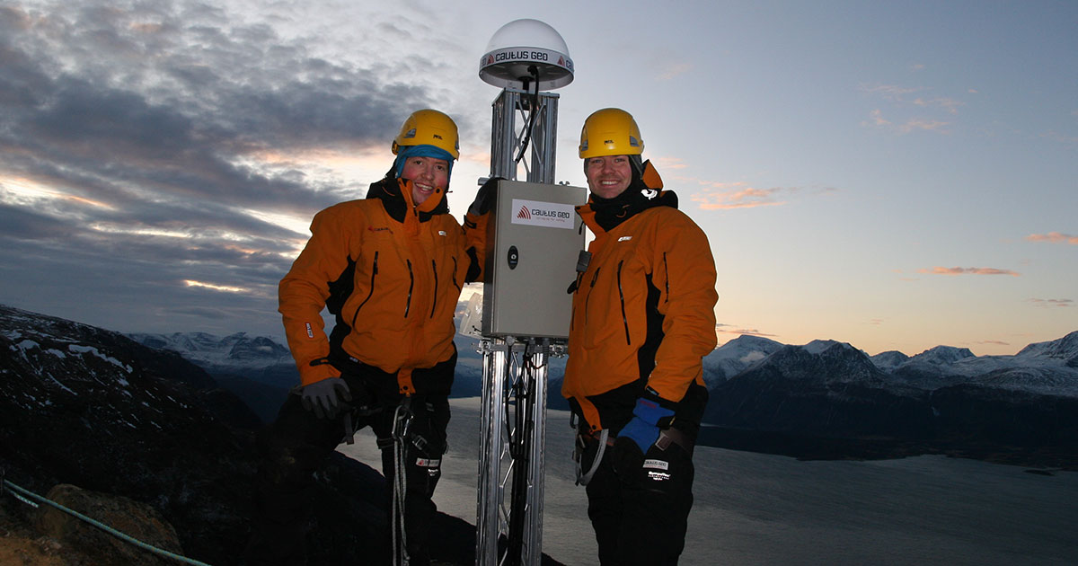
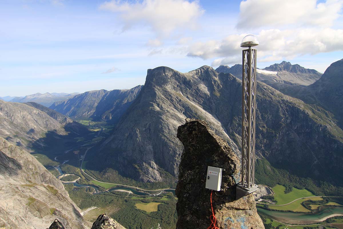
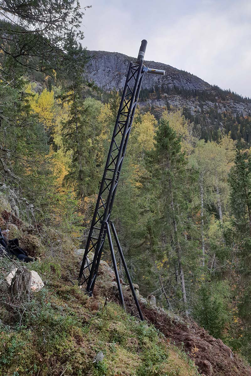
GNSS instrumentation of Nordnesfjellet
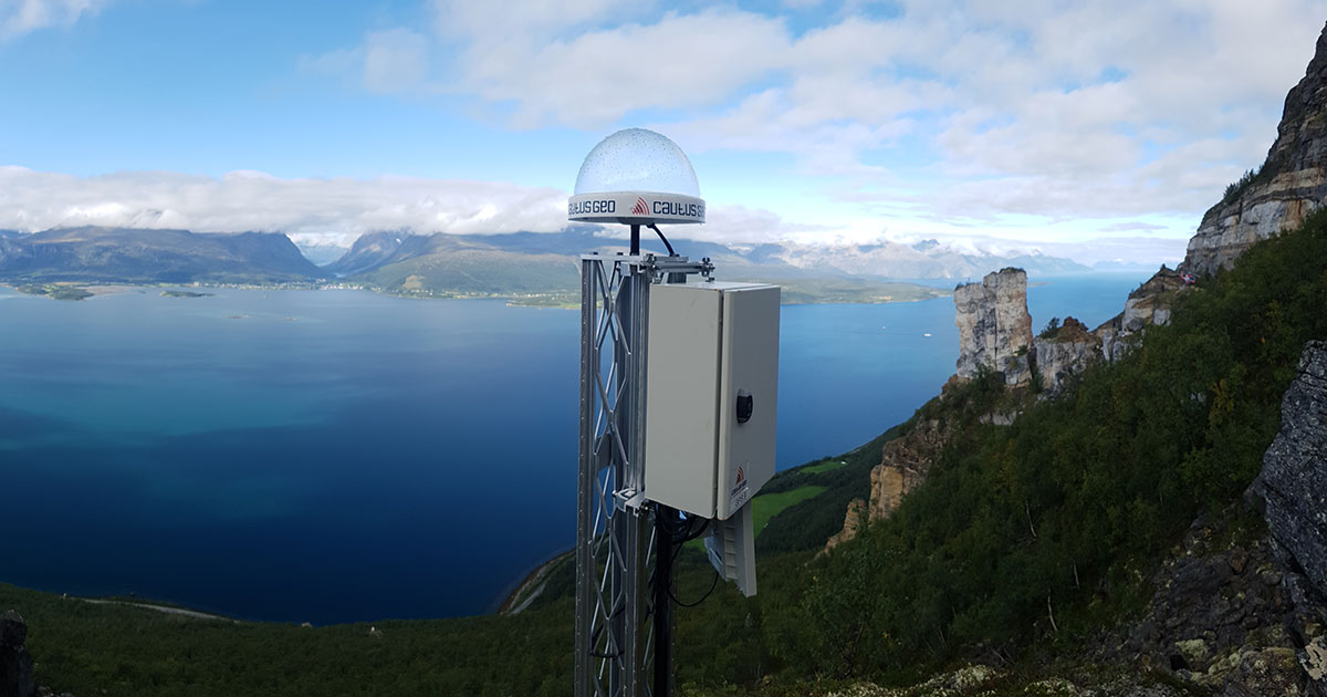
A comprehensive project that will become one of the world’s largest GNSS-networks for monitoring of natural hazards. Cautus Geo installs 18 GNSS devices on Nordnesfjellet in Kåfjord. The mountain is one of four in Norway that are continuously monitored, the most well-known being Åkneset and Mannen.
Laser on Mannen
Cautus Geo establishes a laser monitoring system on the mountain Mannen in Rauma municipality. Three lasers are set up and operational before November 1st. Mannen would go on to become one of the most comprehensive and complex projects for the company.
Partnership with Trimble
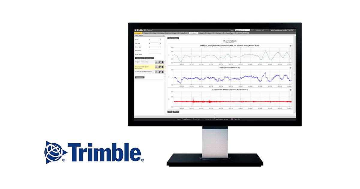
Enter into partnership with Trimble, the American-owned software development company and world leader in positioning equipment, with a focus on Saas (cloud services for use in areas such as transportation, monitoring, GNSS and agriculture). The agreement allows for commercialization of Cautus Web.
First instrumentation using SAAF-system
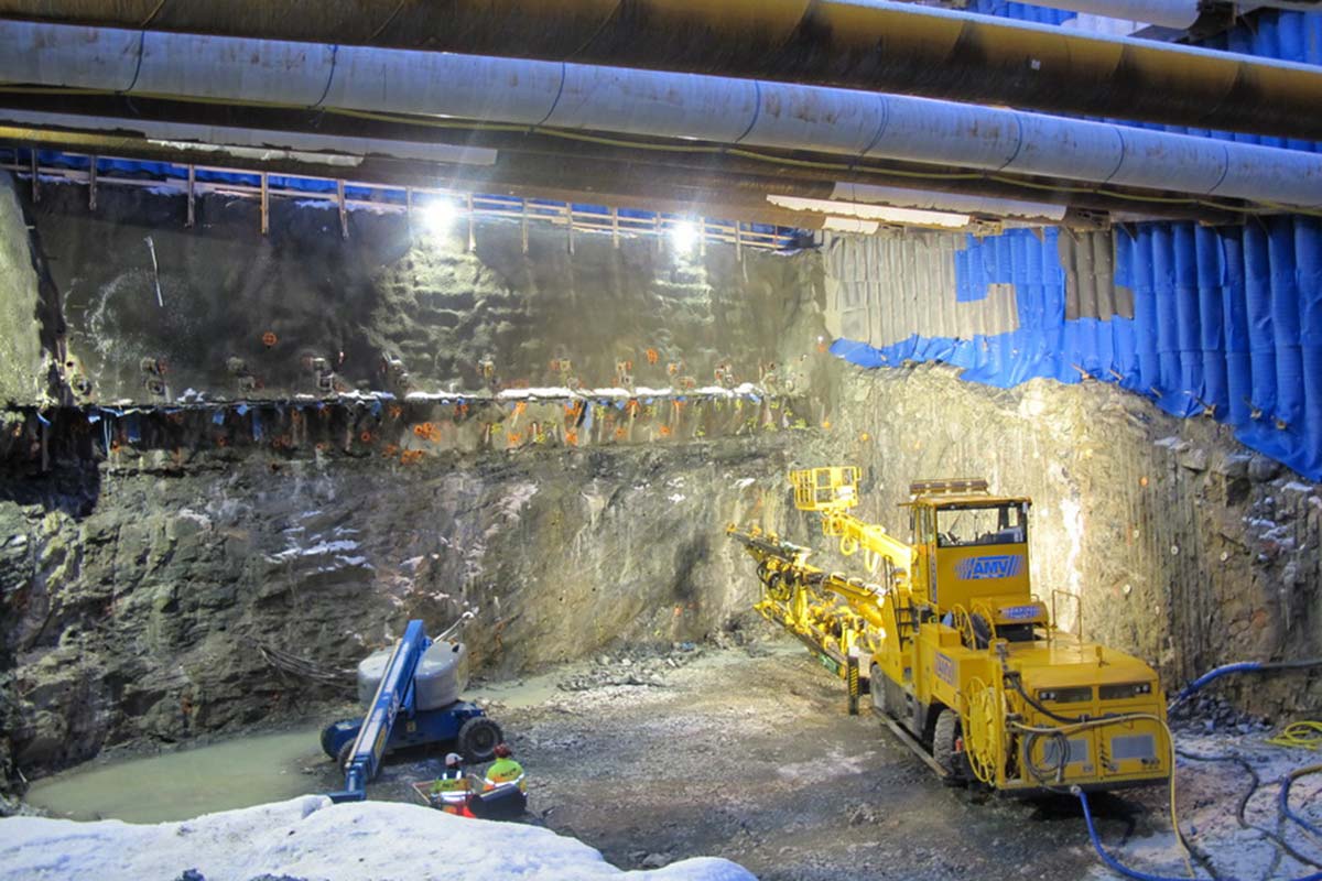
On the Strindheim tunnel project in Trondheim, construction begins in Bakklandet, an area with clay and little bedrock. The SAAF-system is used to monitor deformation in the mountain over the excavation.
Projects in Sweden
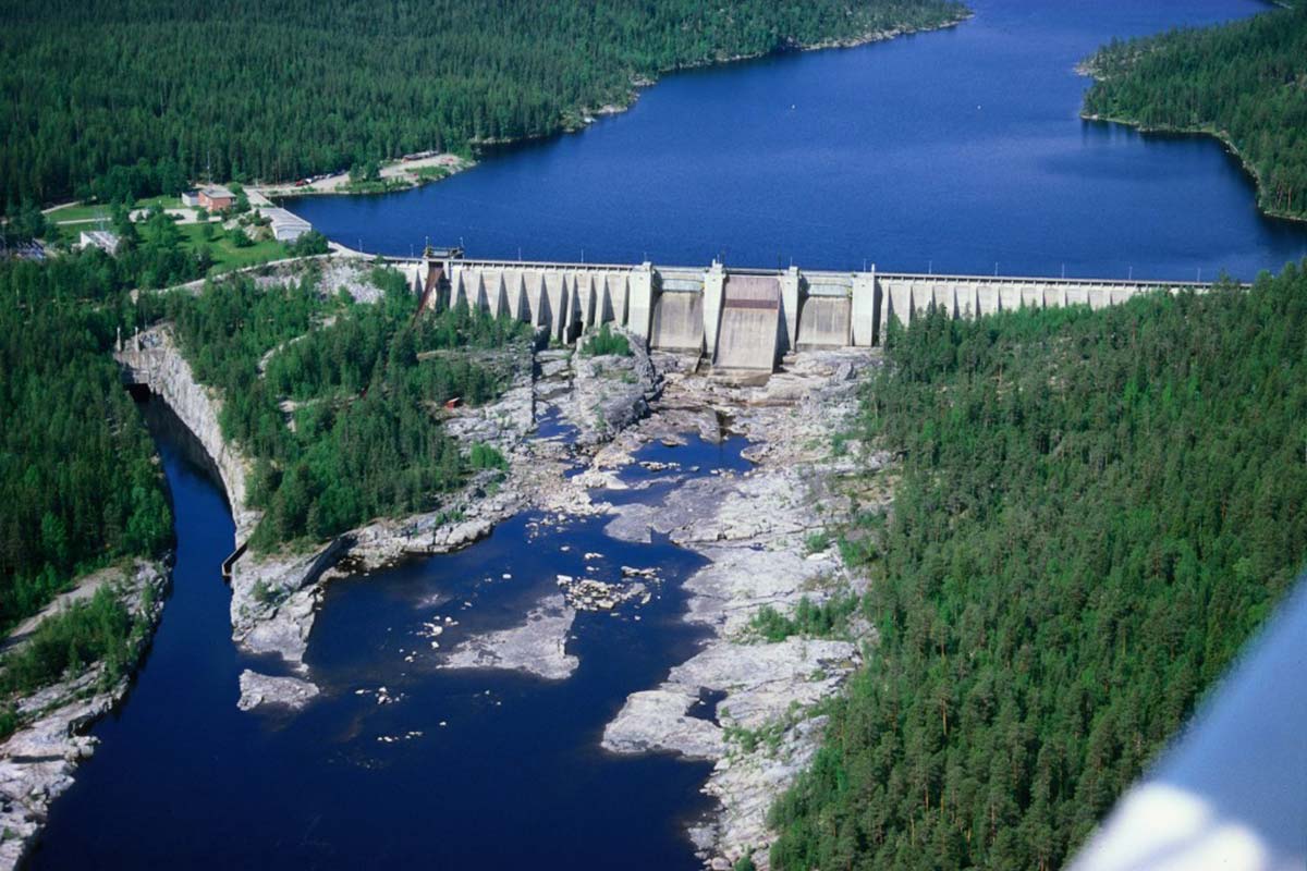
We win our first projects in Sweden and instrument several dams in both Northern and Southern Sweden. The projects are for some of Sweden’s largest dam operators. They encompass monitoring of deformation with both strain gauges and total stations, water level and measurement of climate and temperature changes in the structures.
New office location
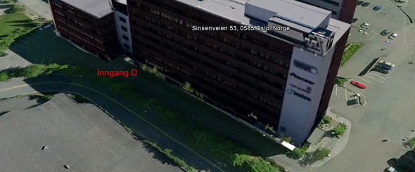
We move in to new, larger offices at Sinsenveien 53 in Løren.
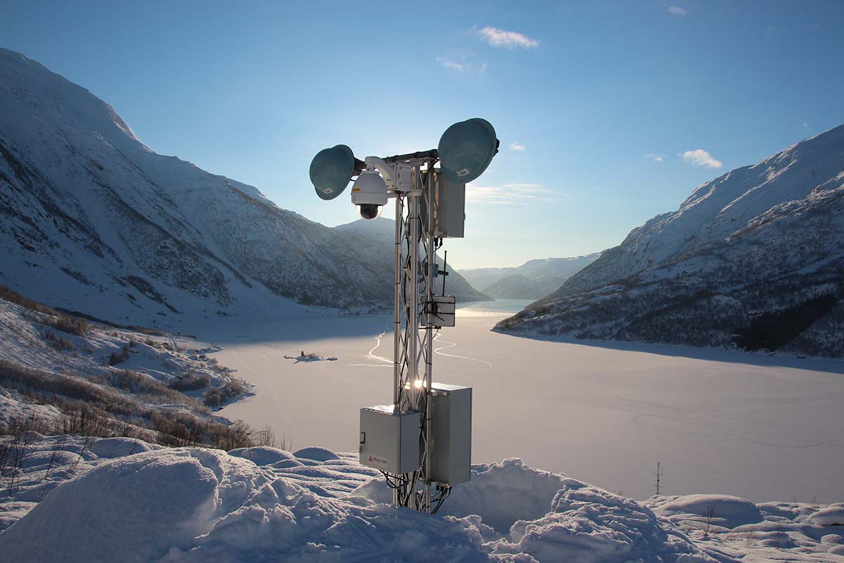
Our first avalanche radar
Development begins on our first avalanche radar. The first tests are performed in late winter 2013.
Ulvin tunnel underway
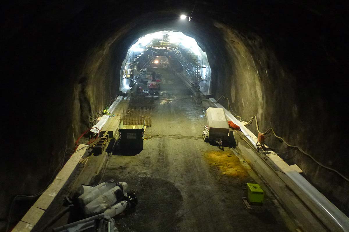
Ulvin tunnel is a part of a large joint project between the railroad authority, Jernbaneverket, and the roads authority, Statens vegvesen. We monitor strain, temperature and water pressure in the nearly 4-kilometer long railway tunnel.
Gaselle Business

We are nominated as a Gaselle Business. Behind the nomination stands Dagens Næringsliv and Bisnode. The creteria include having an annual growth in revenues, with at least a doubling in four years and a profitable result.
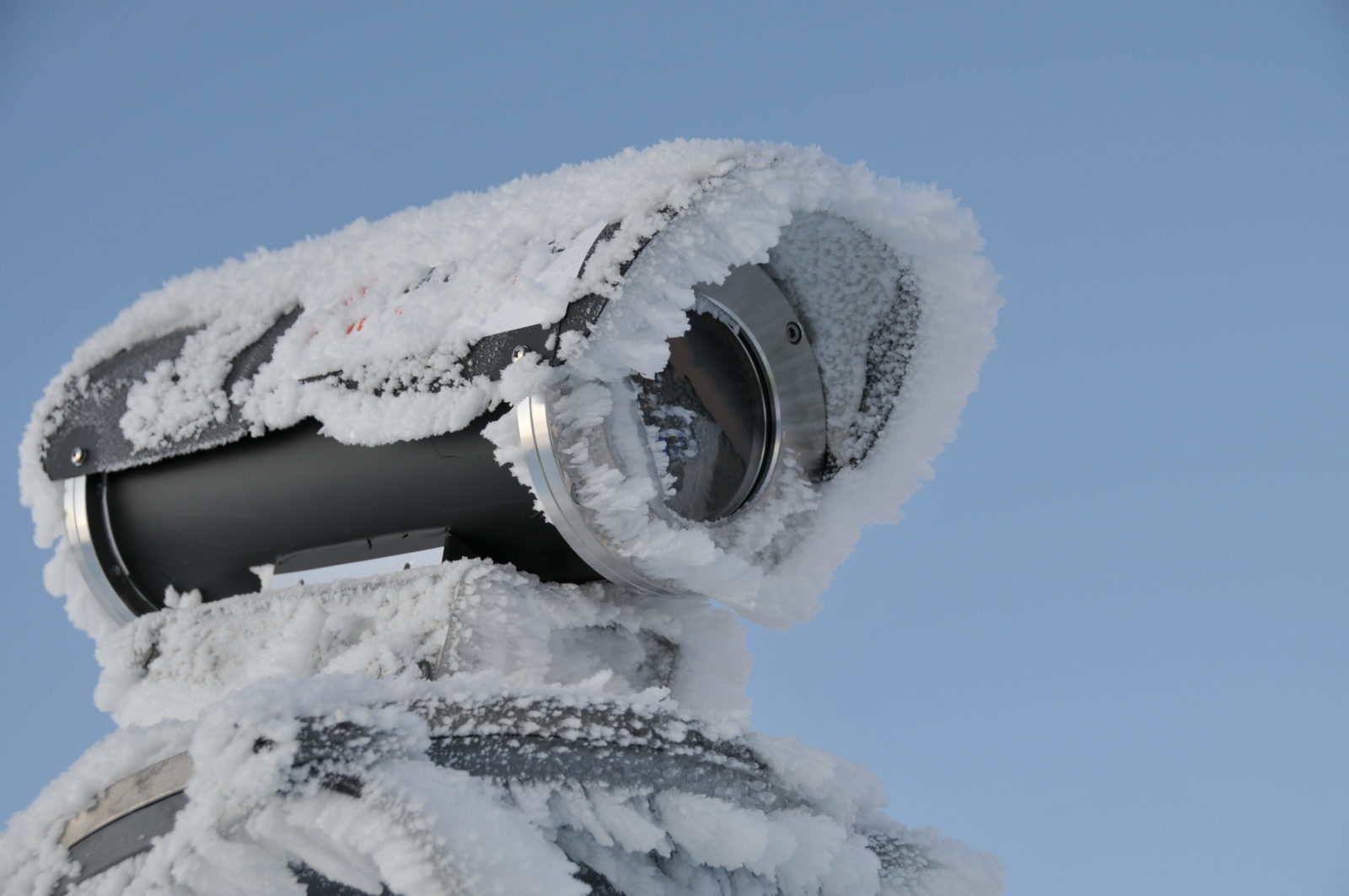
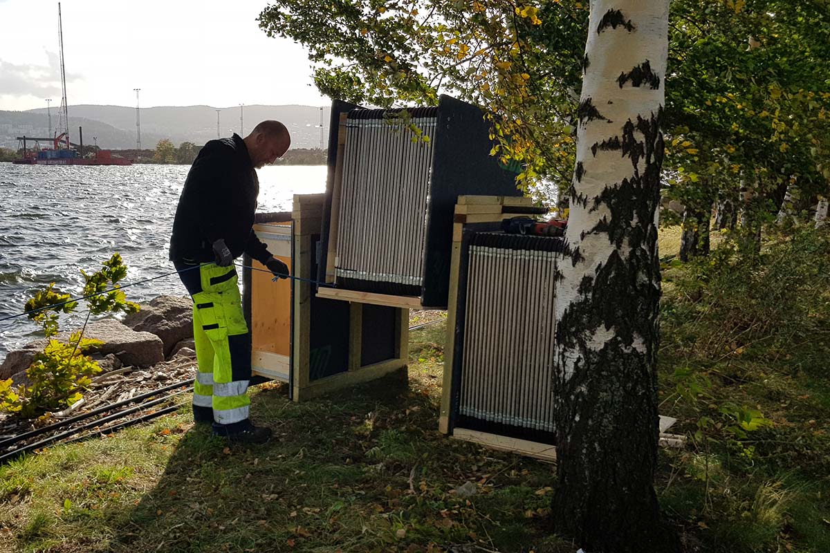
Ground-based InSAR
In the spring of 2013, there are many landslides on the roads in western Norway. We are engaged in several monitoring applications using ground-based InSAR, radar measurements from satellites. In November 2013, we begin periodic measurement campaigns with ground-based InSAR along E18 near Try in Søgne municipality.
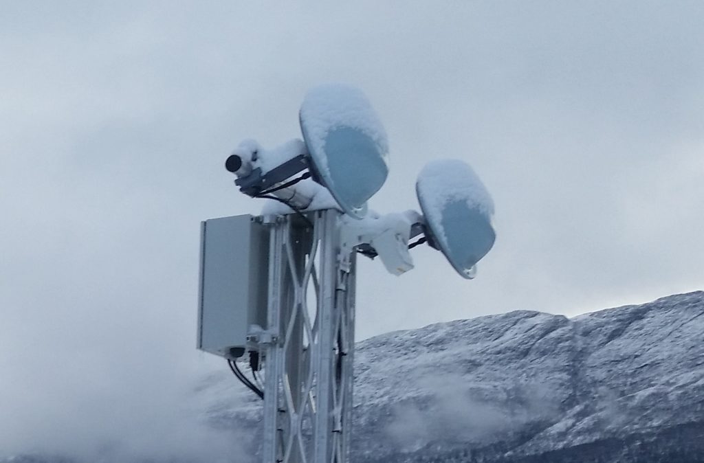
First automatic avalanche radar in Norway
Two new projects utilizing our avalanche radar. The systems are established in Lom in Gudbrandsdalen and Utladøla in Sogn. Both projects include automatic closure of roadways. These projects are the first automatic avalanche monitoring projects in Norway using radar technology.
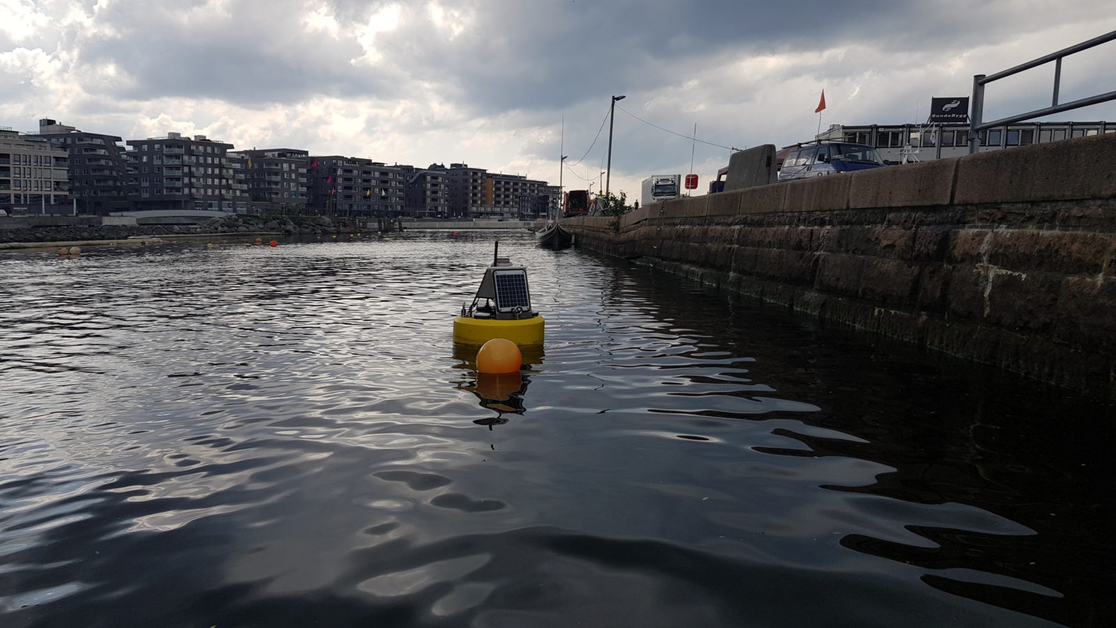
Entry into environmental monitoring
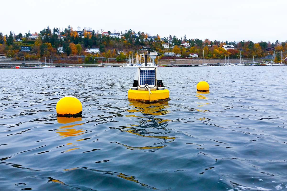
We begin environmental monitoring and offer a wide range of environmental sensors and robust data buoy platforms well-suited for Nordic conditions. In October, Cautus Geo begins its first application with environmental monitoring of Kadettangen in Bærum municipality, just west of Oslo. The project also includes automatic settlement measurements.
Work on Veslemannen
Part of the mountain Mannen increases its movement. The area is given the name Veslemannen. Cautus Geo provides measurement equipment for mapping and monitoring of this part of the mountain as well.
Commissioning of improvements on Rv13
Work gets underway on improvements to Rv13 through Deildo in Ullensvang, on the stretch of road between Odda and Kinsarvik in Hardanger. We establish various systems for monitoring of unstable mountain areas. It is quite a comprehensive monitoring system consisting of strain gauges, total stations, borehole sensors and Cautus Web. Cautus Web.
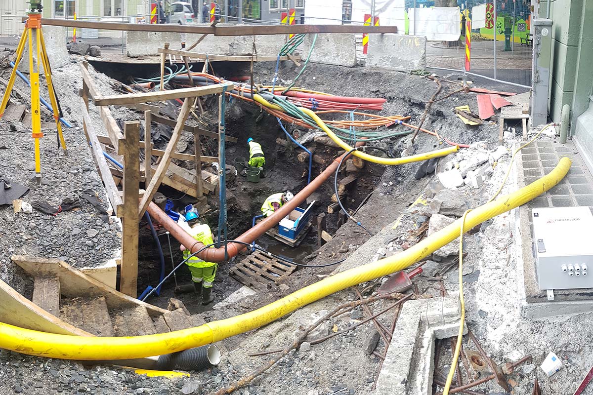
Start-up on the Follo Line
Condotte is the lead contractor, and later will Bane NOR take over as Cautus Geo’s client on the Follo rail line entering into the central train station Oslo S. The project develops into a large-scale monitoring application. Eventually, it consists of monitoring of ground conditions, structures being built, existing buildings and operational rail lines.
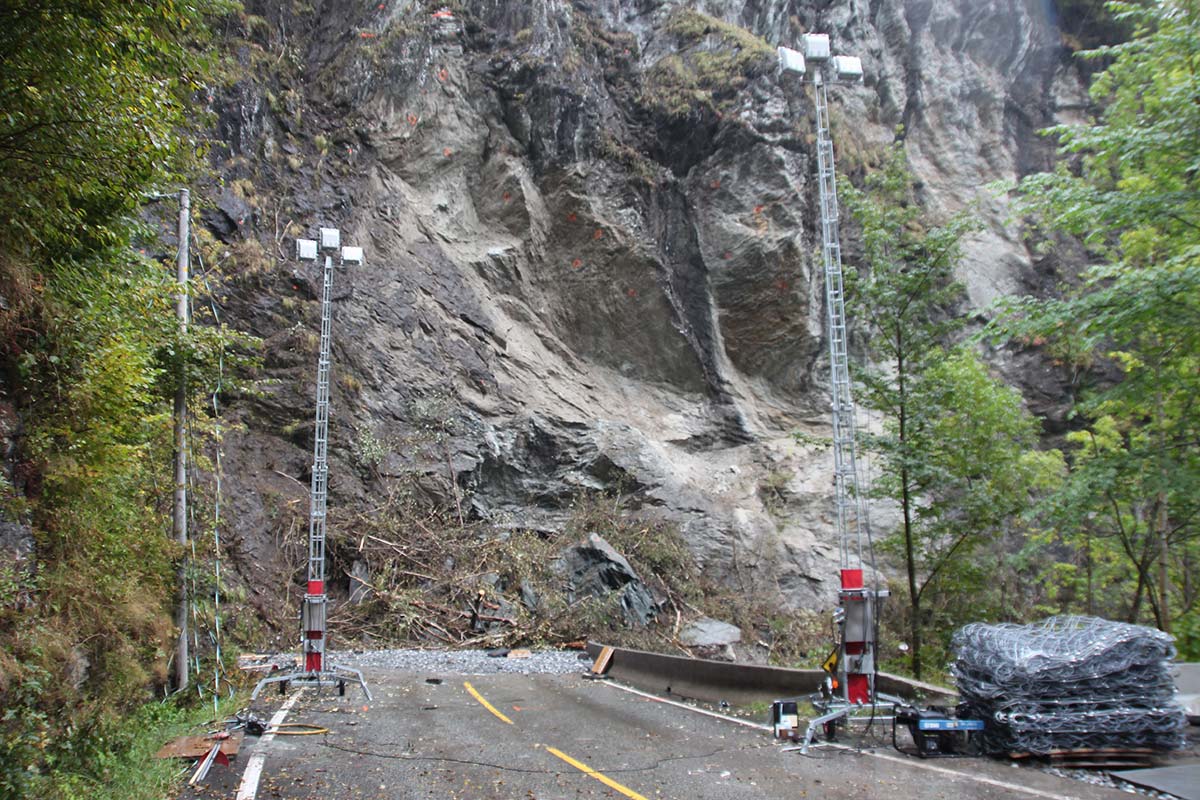
Monitoring project Rv13
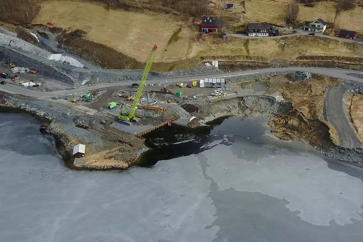
Parts of the construction site in connection with the development of Rv13, Jobergtunellen, slide out in Granvinsvatnet. Cautus Geo is tasked with monitoring ground conditions and stability after the slide and during rebuilding of the road..
Gaselle again
Cautus Geo is once again nominated as a Gaselle. The first time was in 2013. Behind the nomination stands Dagens Næringsliv. The creteria include having an annual growth in revenues, with at least a doubling in four years and a profitable net result.
The world’s northernmost
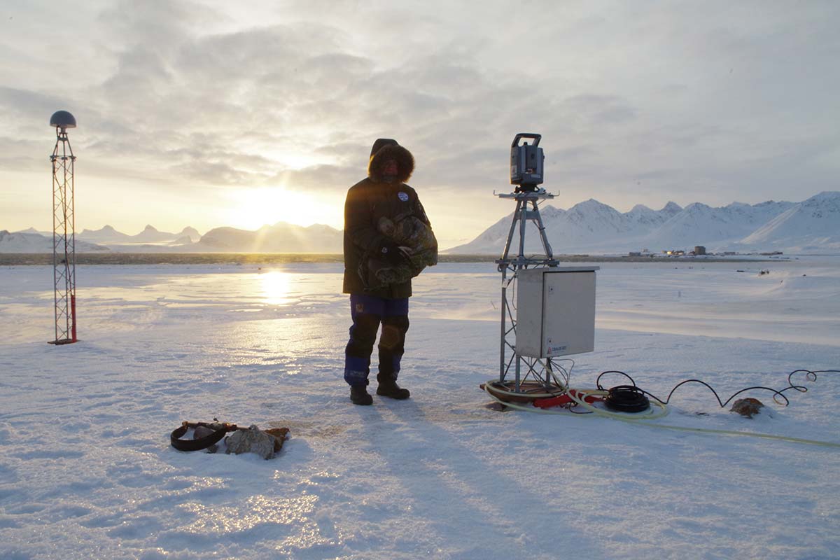
We establish one of the world’s northernmost monitoring systems with a total station one New Ålesund onSvalbard. The system is used to measure stability on VBLI-antennas for the Norwegian Mapping Authority, Statens Kartverk.
First avalanche monitoring with geophones
Cautus Geo wins its first avalanche monitoring projects with geophones on Rv37 along Tinnsjøen in Telemark. The system is wireless. It quickly detects avalanches and closes Tinnsjøveien with traffic lights and gates.
Monitoring of cultural heritage sites
Cautus Geo is awarded a framework agreement for monitoring of cultural heritage sites in Norway over the next several years. With the project, the company becomes involved in exciting new types of measurements, for example measurements in cultural soil layers dating back to the Middle Ages under the present-day ground level.
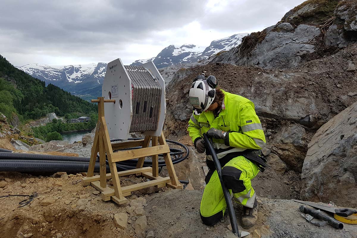
The world’s longest automatic deformation cable
In the Gilhusbukta bay outside of Drammen, new land is established. The area is important for birds and fish. A filling and drainage method is deployed to allow for quick completion. The filling is precisely controlled, and Cautus Geo has installed what is perhaps the world’s longest automatic deformation cable at 330 meters with measurements taken every meter. Altogether, the SAAF system of nearly 1 kilometer measures settlement across the bay.
Investment in ground-based InSAR
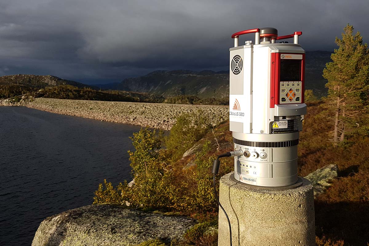
Cautus Geo invests in ground-based InSAR (satellite radar measurements) for monitoring of Stavbrekkfonna. With measurement systems including laser scanners, ground-based InSAR, multibeam, total stations, GNSS-equipment and several drones for photogrammetry, Cautus Geo offers some of the most powerful technology available for mapping of natural hazards and structures.
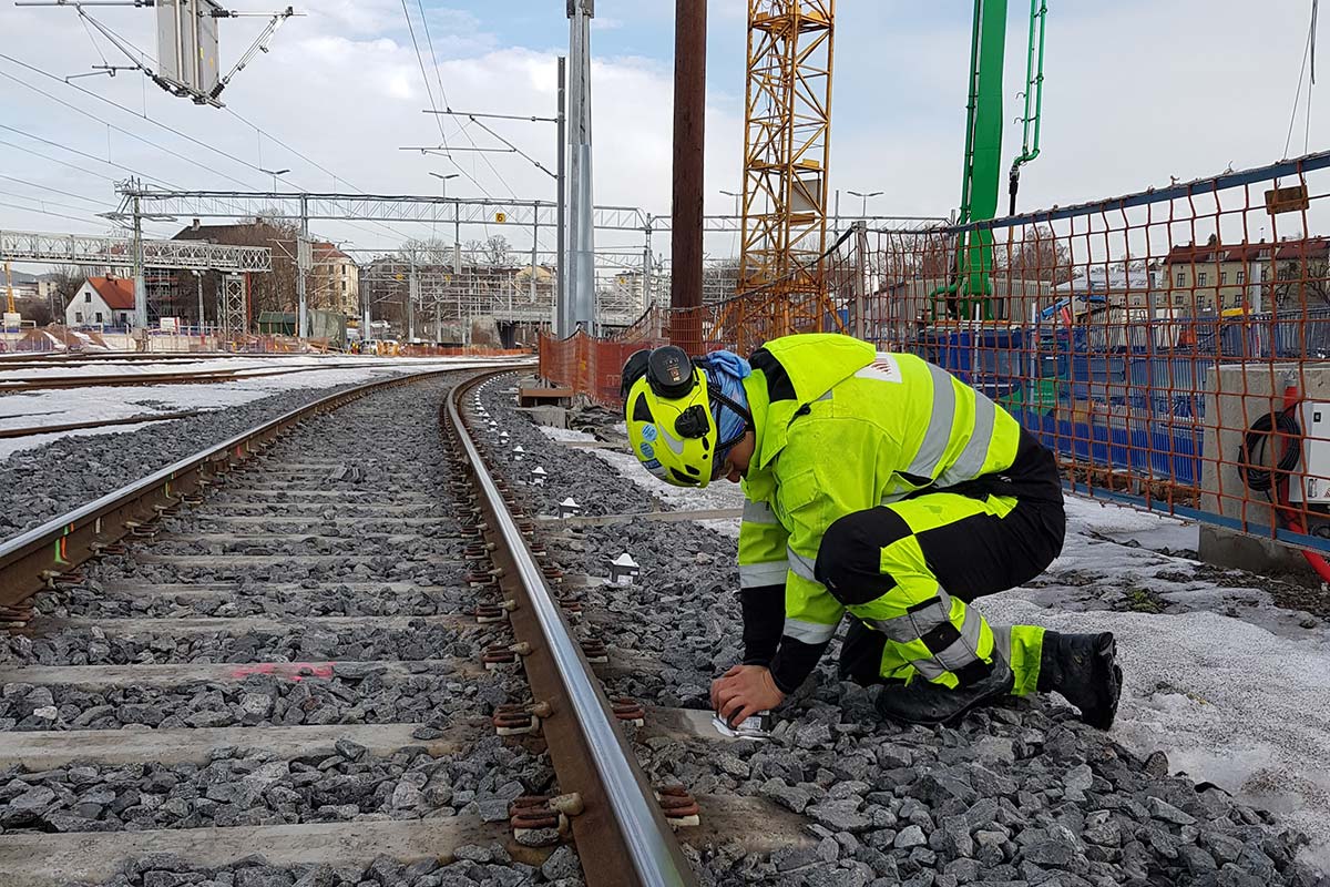
Assignments on Bane NOR projects
Cautus Geo receives work orders on several of Bane NOR’s (railroad authority) projects. The assignmenets entail pore pressure, deformation and other measurements on the Follo Line project in Oslo, Vestfoldbanen, Eidsvoll South and Moss.
Salmon and tunnel in Bjørvika
Cautus Geo monitors pore pressure and water quality during building of Museumsutstikkeren at the new Munch Museum in Oslo. The objective is to control the pressure load on the Opera tunnel and ensure there is no harm to salmon and sea trout that migrate through the area.
Anniversary
August 1st, 2019: Cautus Geo celebrates 10 years.
Cautus Geo has become one of Europe’s leading companies in automatic monitoring of geohazards, structures, climate and the environment. Teh company has grown from being a company with a focus on geotechnical measurement systems to covering many different subject areas such as geotechnical, geology, geodesy, environmental, water, snow, IT, electronics and software development.
Cautus Geo has bet big on research and development and had a curiosity for new technology, measurement methods and business areas.
Cautus Geo is one of the most solid businesses with AAA-rating from Bisnode/DNB.