Products
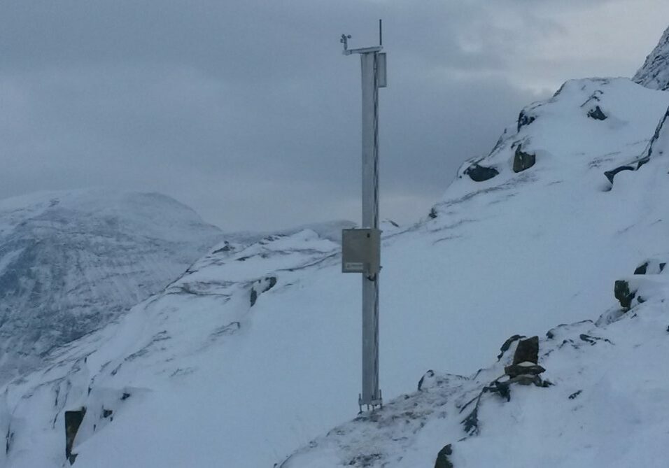
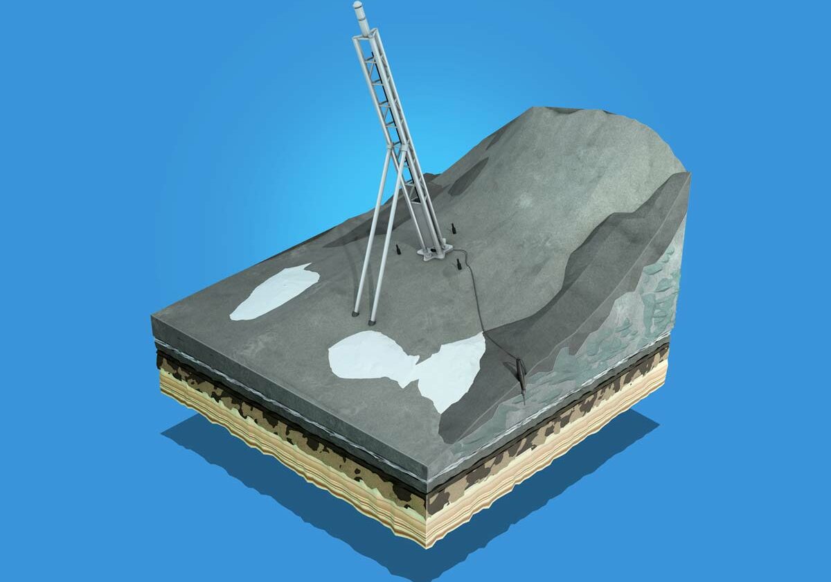
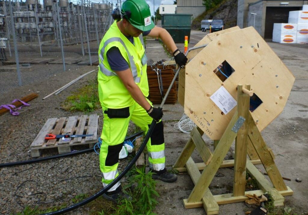
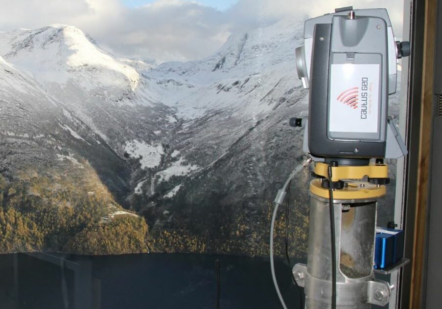
Our aim is to deliver systems and solutions based on the best available technology for all of our projects. To achieve this, we use a wide range of sensors and survey systems.
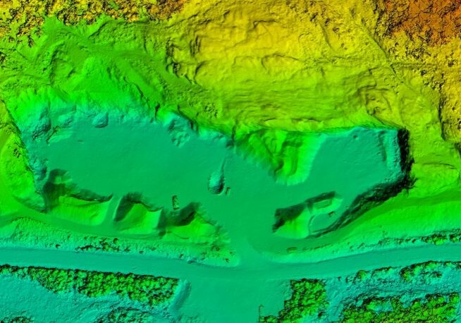
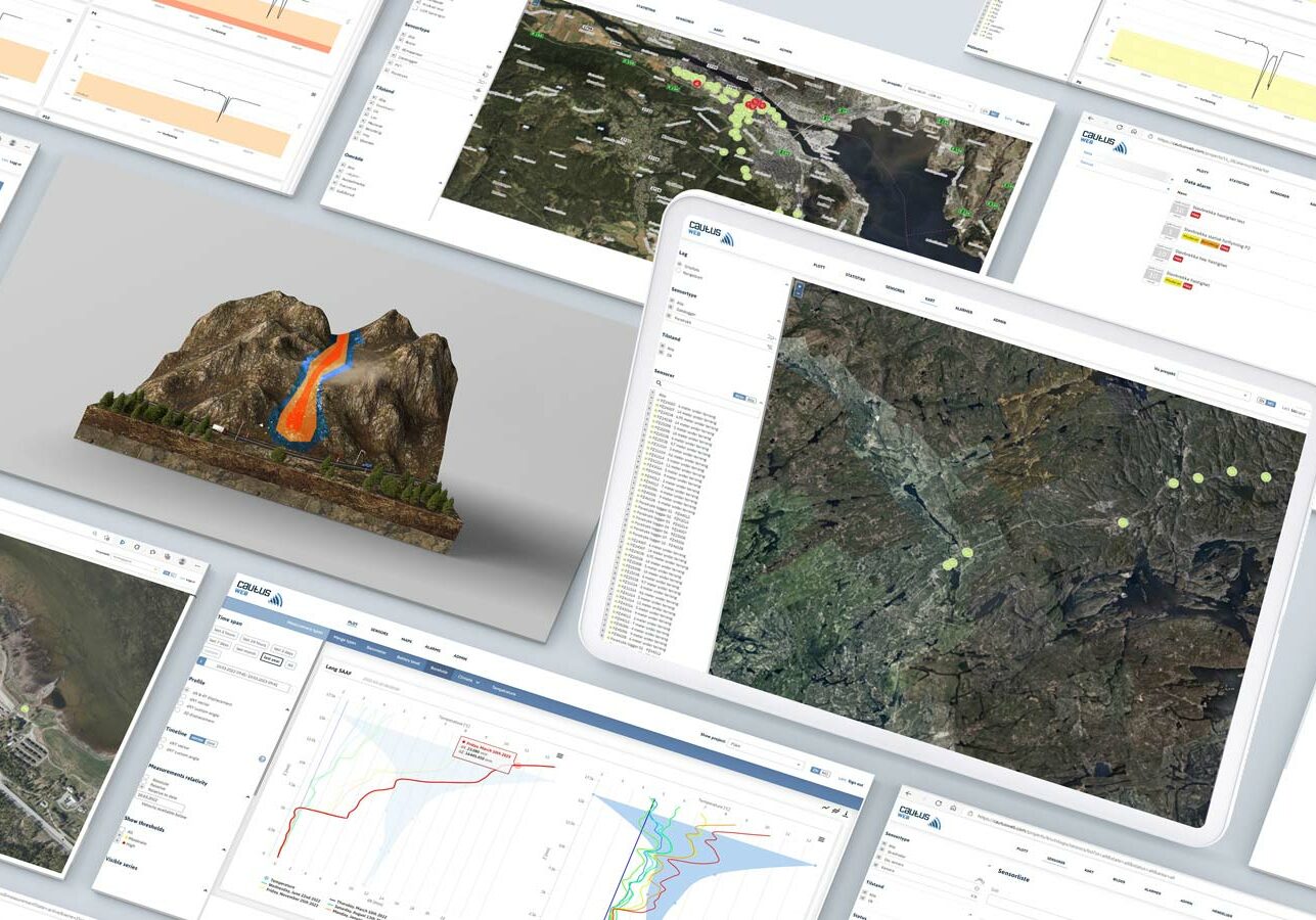
Cautus 3D modeling
3D modeling and analysis of areas with geohazards or surface extraction of rocks and minerals.
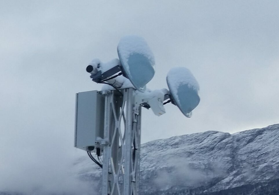
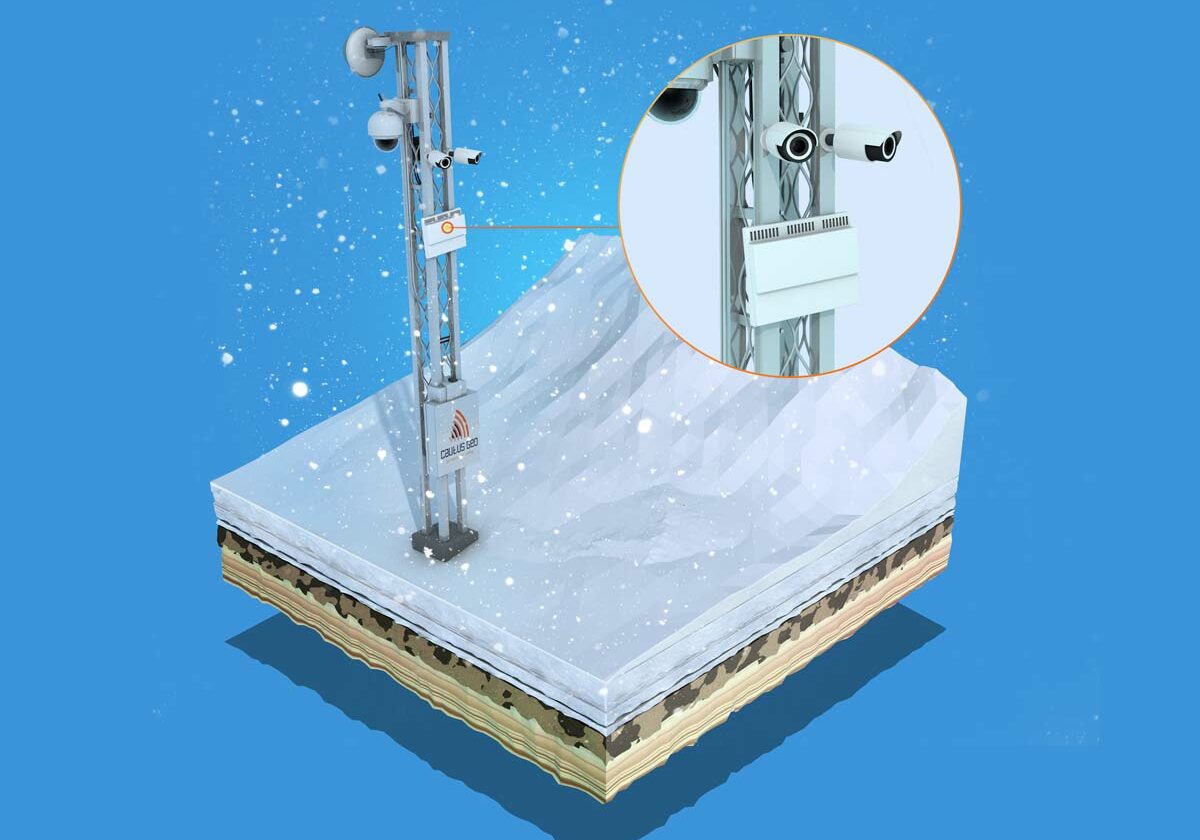
Cautus Avalanche Radar
Radar-based measuring system for monitoring and forecasting of avalanches and landslides.
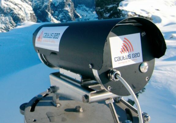
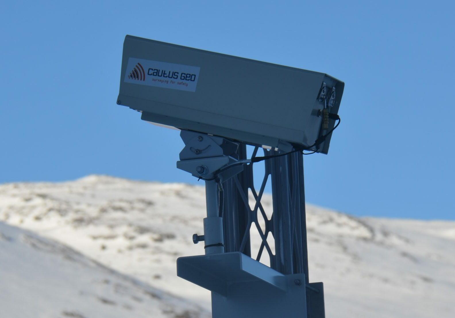
Cautus Laser
Robust and accurate laser system developed by Cautus Geo for distance measurements up to 200m.
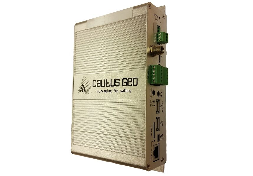
Cautus Logger
Flexible and robust yet simple and cost-effective data logger well-suited for geomonitoring.
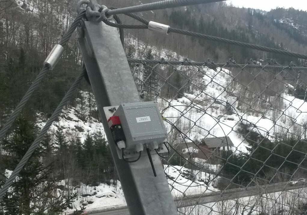
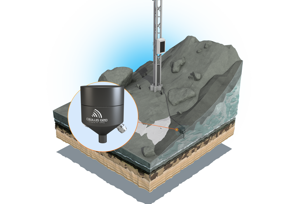
Cautus Safety Net/Pullout Sensor
Sensor system for warning of rockfall in safety nets or blasting areas.
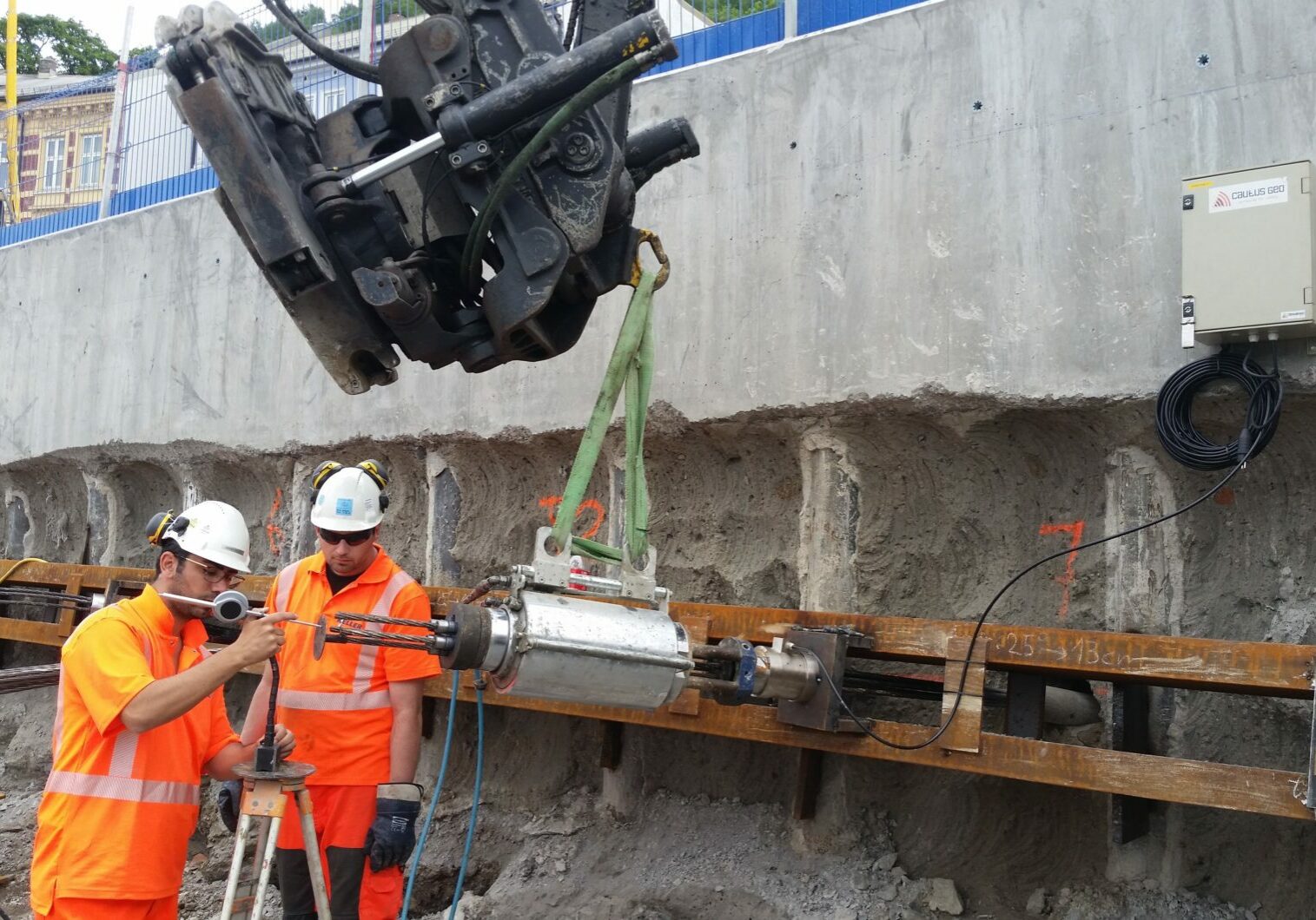
Geotechnical Monitoring
Cost-effective, automated total solutions for geotechnical monitoring applications.
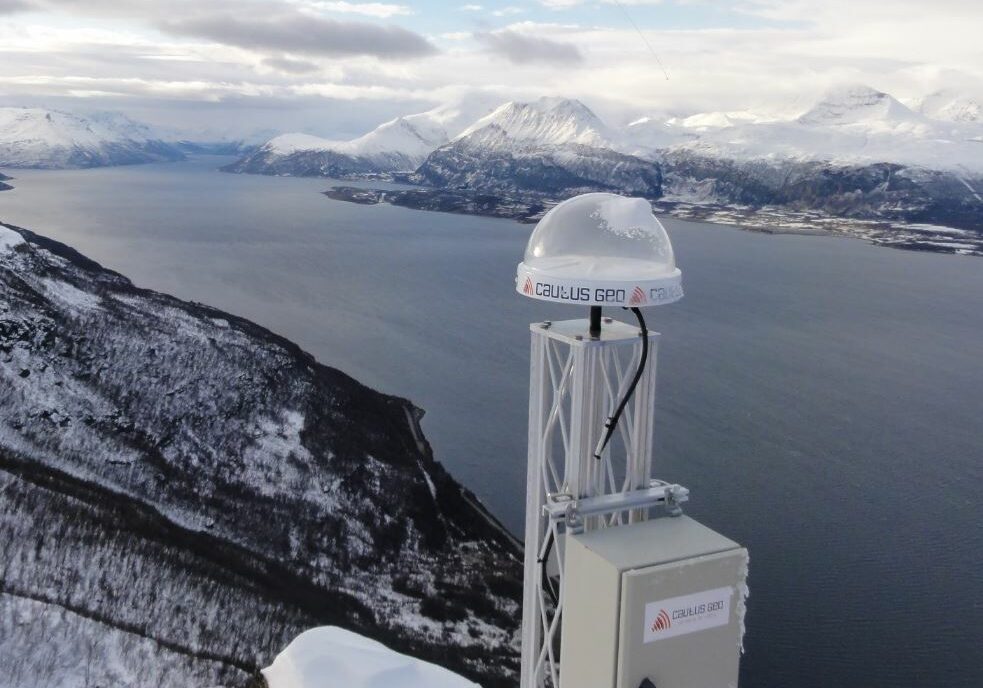
GNSS (GPS/GLONASS)
GPS and GLONASS satellite measurements for continuous survey of 3D deformation (4D).
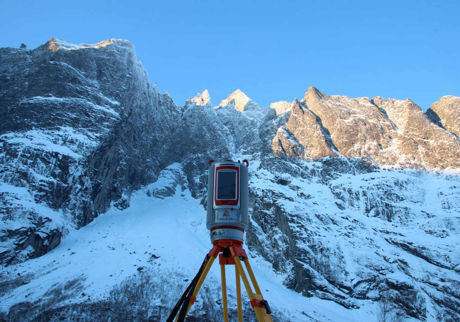
Laser Scanner
Robust and precise laser system developed by Cautus Geo for mapping and deformation analysis.
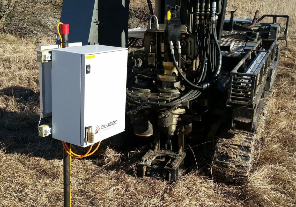
Pore Pressure Measurement
Pore pressure measurement systems for use in challenging Nordic soils and climate with vibrating wire piezometers.
