Transportation & Infrastructure

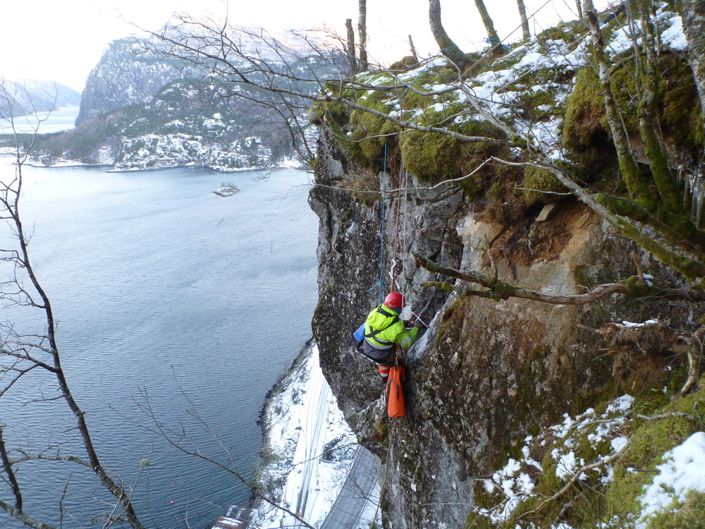
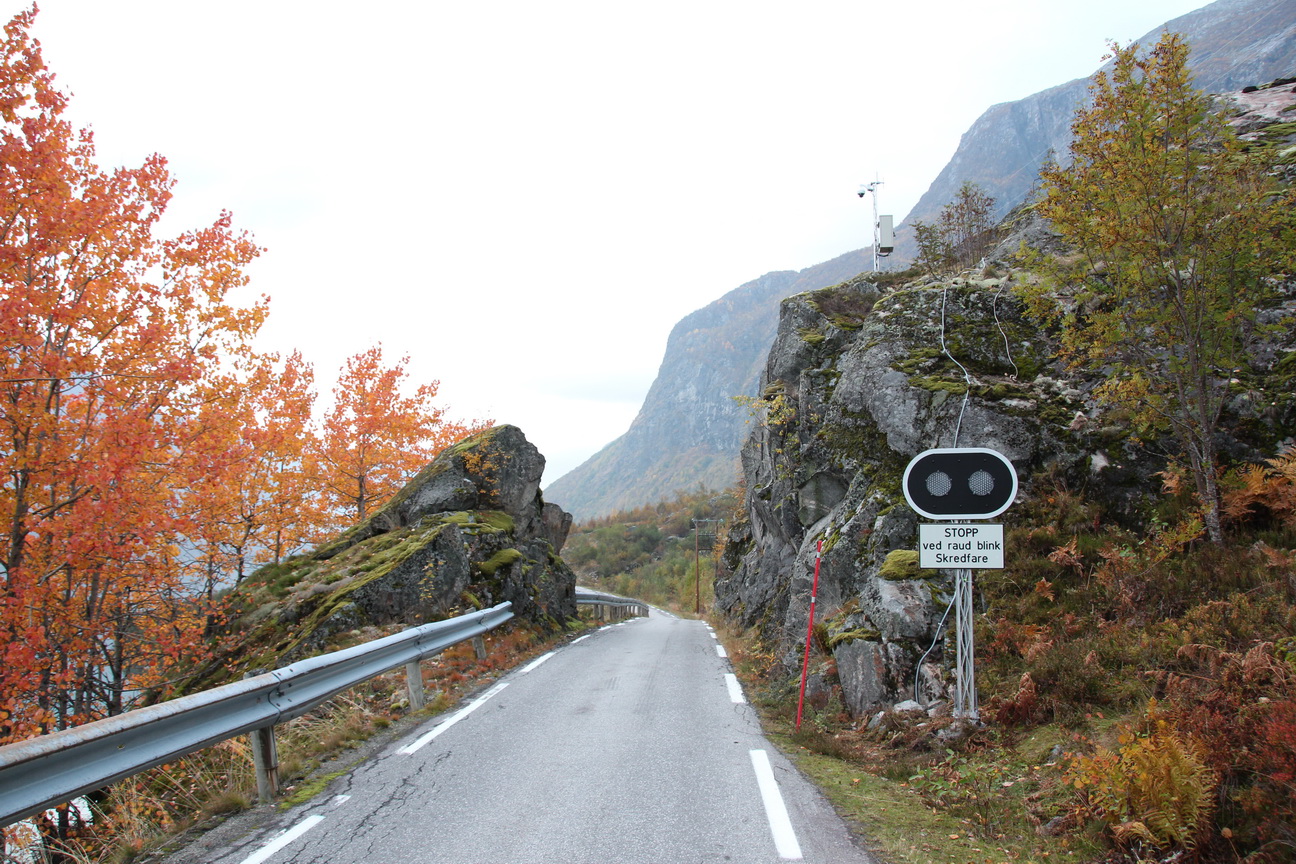
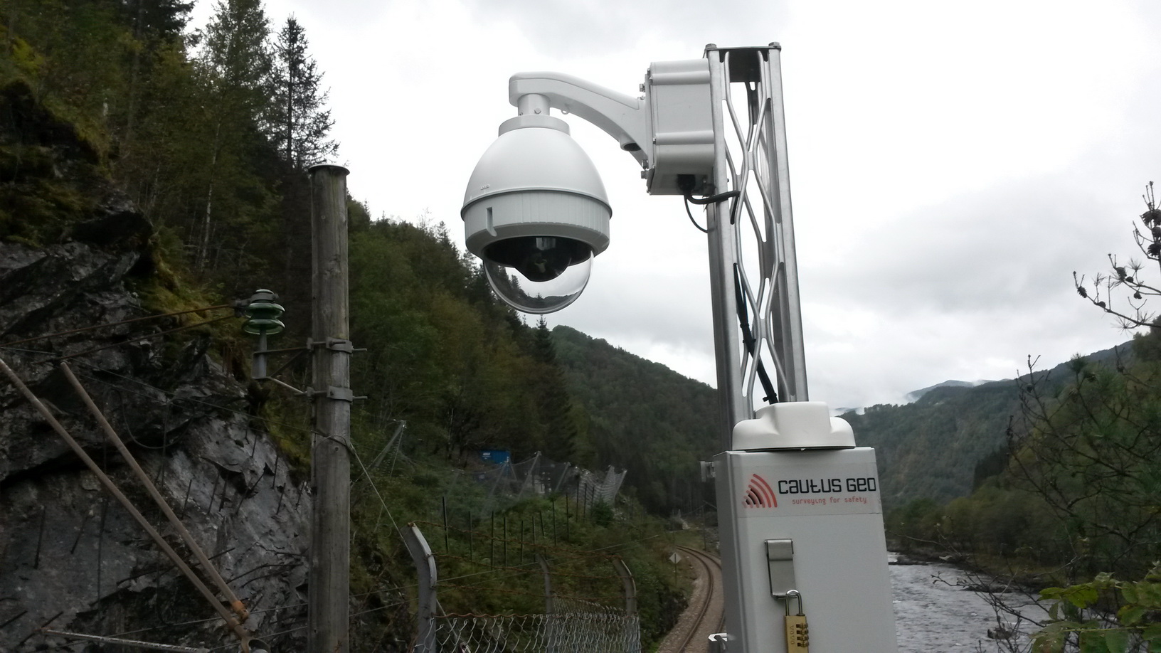
Cautus Geo delivers mapping and monitoring solutions for potential natural hazards and vulnerable structures associated with rail and roadways. As infrastructure and related facilities age, it is subjected to long-term climatic and physical stresses. Roads and railways can also navigate through difficult terrain and environments, and certain sections are potentially exposed to avalanches and rock falls that may cause danger to travelers. Additionally, the route itself may be prone to deformations that are related to weather events.
Because of these risk factors, monitoring stability, deformation and environmental conditions is important in vulnerable areas. Monitoring provides valuable information on the structures and contributes to targeted operation and maintenance, as well giving early warning to any potential threats.
Some segments and applications in transportation:
- Landslides and avalanches
- Bridges
- Tunnels
- Roads
- Railways
- Ports