Geohazard and Environment

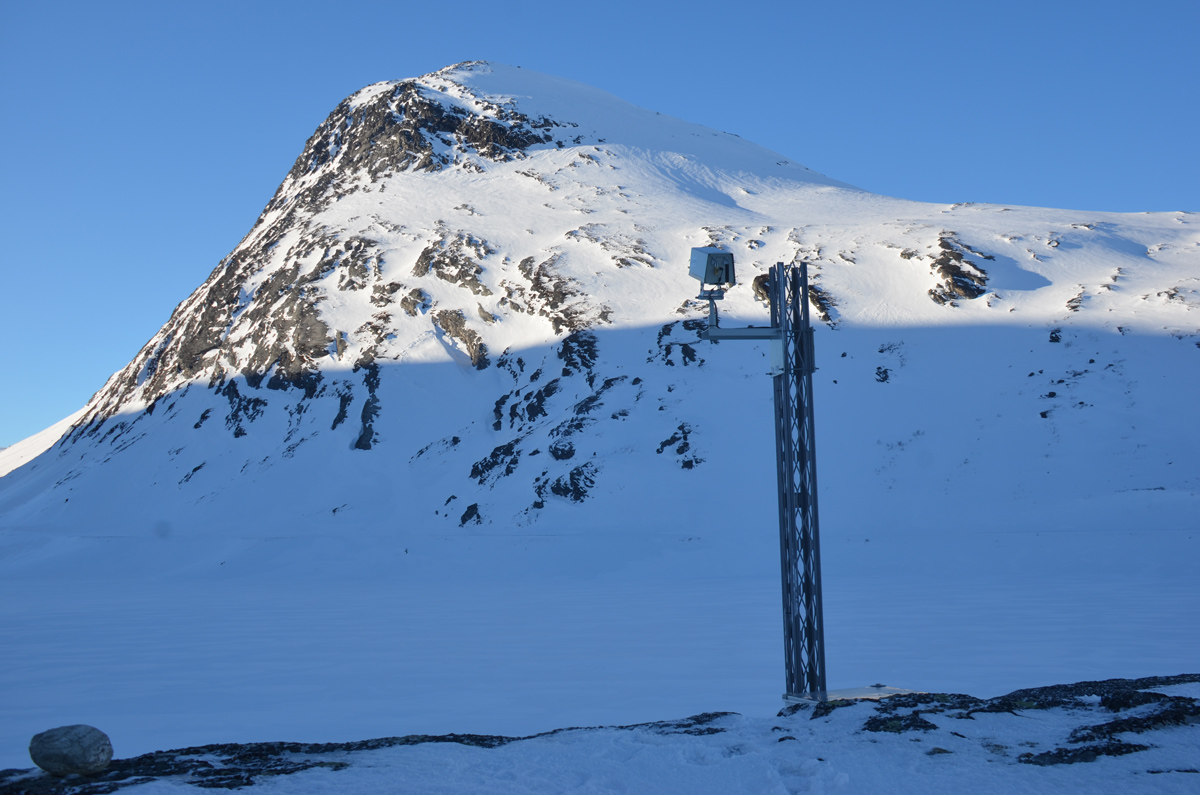
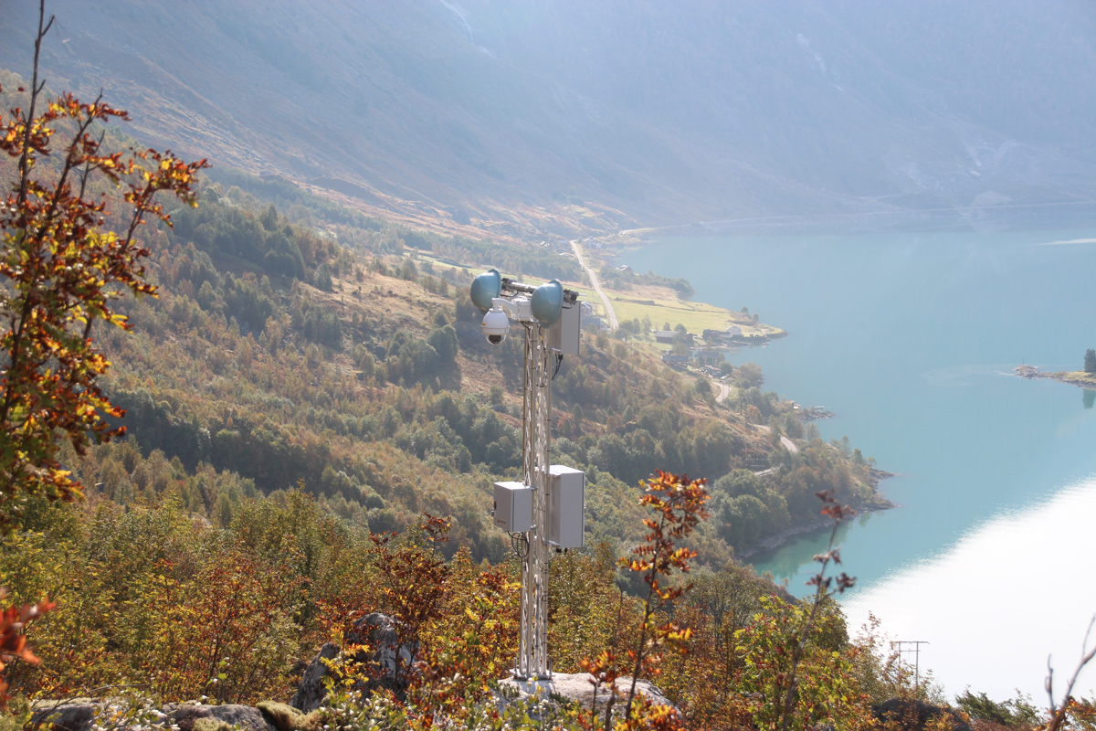
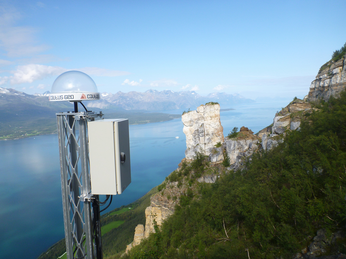
Avalanches and landslides are a growing problem and pose a threat to people, infrastructure and constructions. An alternative to physical protection of hazardous areas is to map, monitor and provide alerts before critical events occur. A cost-benefit assessment will often show that automated monitoring and notification is an effective solution and a good alternative to physical safeguards or taking no action.
Cautus Geo has been involved in installation of monitoring and warning systems of major avalanches in Norway since 2009. Through this experience, we have developed unique expertise in mapping, instrumentation and early warning for areas at risk for avalanches and landslides.
Designing and installing high quality systems for monitoring and early warning of landslides has been one of the core competencies of Cautus Geo since its inception. Cautus Geo uses many types of sensors in their projects, including for measurement of causal factors such as weather and wind speeds.
Some of the different types of landslides and hazardous areas we can offer solutions for include:
- Large rock masses and faults
- Smaller landslides and rock falls
- Roadside safety nets
- Avalanches
- Clay soil formations
- Rivers
- Glaciers
- Permafrost